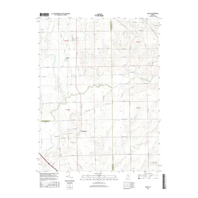
2016 Map of Azalia
USGS Topo · Published 2016About this map
The East Fork White River defines the western edge of this agricultural landscape at the convergence of Bartholomew, Jackson, and Jennings counties. Small rural settlements like Azalia and Reddington serve as historic anchors for the surrounding farmland, which is bisected by a network of waterways including Sand Creek and Little Sand Creek. The terrain is characterized by the complex drainage patterns of smaller tributaries such as Mutton Cr, Nettle Cr, and Rock Cr, which feed into the primary river system. Local historians and genealogists will find significant value in the documentation of the Sand Creek Cem and Glasson Cem, reflecting the early burial sites of the region's farming families. The presence of Thompson Slough near the river suggests the low-lying, seasonally inundated nature of the bottomlands, contrasting with the organized township and range grid that structures the upland roads and property boundaries.
Find a feature on this map
54 named features on this map. Tap any name to fly to it.
Don’t see what you’re looking for? This feature index may not catch every label — zoom into the map to look around manually.
Map Details
Editions of this 2016 Azalia Map
This is the sole edition of this map. No revisions or reprints were ever made.
Other maps of this area

1942 · Columbus
USGS Topo · 1:125,000

1953 · Cincinnati
USGS Topo · 1:250,000

1956 · Louisville
USGS Topo · 1:250,000

1957 · Cincinnati
USGS Topo · 1:250,000

1957 · Jonesville
USGS Topo · 1:24,000

1957 · Azalia
USGS Topo · 1:24,000

1957 · North Vernon
USGS Topo · 1:24,000
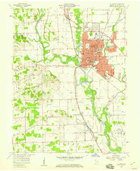
1958 · Columbus
USGS Topo · 1:24,000

1958 · Grammer
USGS Topo · 1:24,000
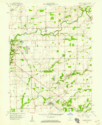
1958 · Elizabethtown
USGS Topo · 1:24,000