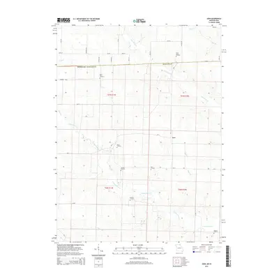
2015 Map of Azen
USGS Topo · Published 2015About this map
Azen sits at a rural crossroads in northern Scotland County, where a network of state routes and gravel roads connects a landscape defined by its waterways. The drainage pattern of the N Wyaconda River and its tributaries, such as Hughes Br and Morgan Br, dictates the placement of the area's agricultural tracts. This 2015 survey reveals a high density of rural burial grounds, including the North Upton Cemetery and Mount Olive Cemetery, which offer valuable data for genealogical research in this part of Missouri. The northeastern corner is further shaped by the winding Little Fox River and Valley Br, marking the transition toward the Iowa border. The map provides a clear record of local transportation corridors, from Mo-H and Mo-Z to smaller thoroughfares like Humphrey Blvd and Emerald Ave.
Find a feature on this map
43 named features on this map. Tap any name to fly to it.
Don’t see what you’re looking for? This feature index may not catch every label — zoom into the map to look around manually.
Map Details
Editions of this 2015 Azen Map
This is the sole edition of this map. No revisions or reprints were ever made.
Other maps of this area

1903 · Kahoka
USGS Topo · 1:125,000

1903 · Edina
USGS Topo · 1:125,000

1951 · Wyaconda
USGS Topo · 1:24,000

1954 · Centerville
USGS Topo · 1:250,000

1957 · Centerville
USGS Topo · 1:250,000

1958 · Centerville
USGS Topo · 1:250,000

1958 · Burlington
USGS Topo · 1:250,000

1961 · Burlington
USGS Topo · 1:250,000

1963 · Burlington
USGS Topo · 1:250,000

1965 · Memphis
USGS Topo · 1:24,000