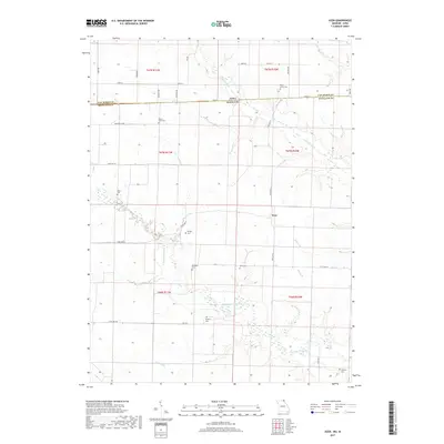
2017 Map of Azen
USGS Topo · Published 2017About this map
The community of Azen sits at the intersection of several state highways in Scotland County, Missouri, just south of the Iowa-Missouri border. This rural landscape is defined by the winding paths of the N Wyaconda River and the Little Fox River, which carve through the farmland along with several tributaries like Hughes Br, Daggs Br, and Cook Cr. The settlement pattern is largely agricultural, with a grid of country roads such as Humphrey Blvd and Emerald Ave connecting various farmsteads.
Find a feature on this map
43 named features on this map. Tap any name to fly to it.
Don’t see what you’re looking for? This feature index may not catch every label — zoom into the map to look around manually.
Map Details
Editions of this 2017 Azen Map
This is the sole edition of this map. No revisions or reprints were ever made.
Other maps of this area

1903 · Kahoka
USGS Topo · 1:125,000

1903 · Edina
USGS Topo · 1:125,000

1951 · Wyaconda
USGS Topo · 1:24,000

1954 · Centerville
USGS Topo · 1:250,000

1957 · Centerville
USGS Topo · 1:250,000

1958 · Centerville
USGS Topo · 1:250,000

1958 · Burlington
USGS Topo · 1:250,000

1961 · Burlington
USGS Topo · 1:250,000

1963 · Burlington
USGS Topo · 1:250,000

1965 · Memphis
USGS Topo · 1:24,000