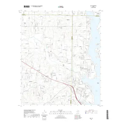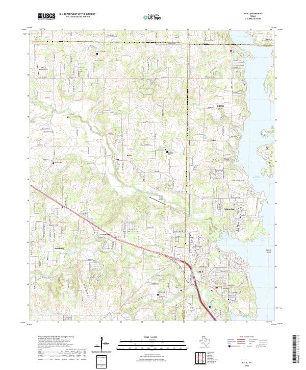
2022 Map of Azle
USGS Topo · Published 2022About this map
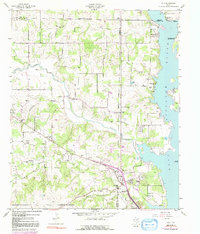
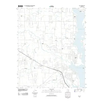
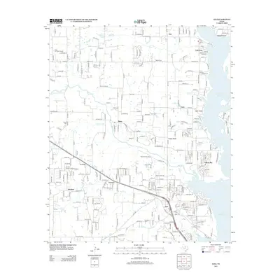
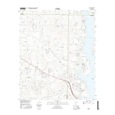
The city of Azle anchors this Texas landscape where the boundaries of Parker, Wise, and Tarrant counties converge. This modern topography reveals a residential and suburban pattern defined by the western shore of Eagle Mountain Lake, including the communities of Pelican Bay and Briar. The map provides significant detail for genealogists and local historians, documenting numerous small burial grounds such as New Hope Cem, Bullard Cem, and the Smith-Frazier Cem near the lake. The terrain transitions from the low-lying waters of Laguna Bay and Ash Creek up toward higher points like Burton Knob. This area maintains its aviation character through the presence of the Kezer Air Ranch Airport and Moore Private Airport, while older place names like Sabathany, La Junta, and Sanctuary reflect the long-standing settlement history of this corridor northwest of Fort Worth.
Find a feature on this map
245 named features on this map. Tap any name to fly to it.
Don’t see what you’re looking for? This feature index may not catch every label — zoom into the map to look around manually.
Map Details
Editions of this 2022 Azle Map
This is the sole edition of this map. No revisions or reprints were ever made.
Historical Maps of Azle Through Time
6 maps found