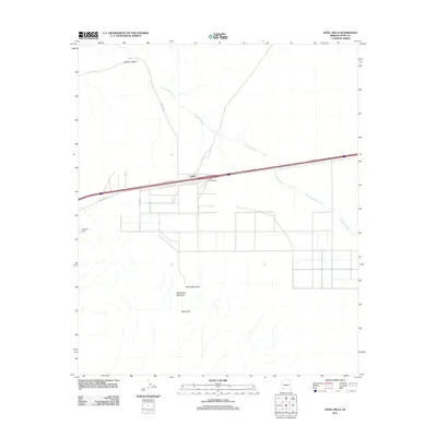
2011 Map of Aztec Hills
USGS Topo · Published 2011About this map
Tenmile Wash and Canyon Diablo cut through the arid landscape of eastern Yuma County, marking the drainage patterns that define this desert territory. The small settlement of Aztec serves as a focal point along the modern transportation corridor, situated at the Aztec Interchange where Interstate 80 follows the historic path of Old Hwy 80. This area is characterized by a mix of infrastructure and prominent geological formations, including the Aztec Hills to the south and the striking peaks of White Mountain and Half White Mountain.
Find a feature on this map
11 named features on this map. Tap any name to fly to it.
Don’t see what you’re looking for? This feature index may not catch every label — zoom into the map to look around manually.
Map Details
Editions of this 2011 Aztec Hills Map
This is the sole edition of this map. No revisions or reprints were ever made.
Other maps of this area

1927 · Aguila Mountains
USGS Topo · 1:48,000

1927 · Kim
USGS Topo · 1:62,500

1929 · Aztec
USGS Topo · 1:62,500

1930 · Aguila Mountains
USGS Topo · 1:62,500

1930 · Stoval
USGS Topo · 1:62,500

1931 · Kim
USGS Topo · 1:62,500

1950 · Stoval
USGS Topo · 1:62,500

1950 · Aztec
USGS Topo · 1:62,500

1953 · Ajo
USGS Topo · 1:250,000

1957 · Ajo
USGS Topo · 1:250,000