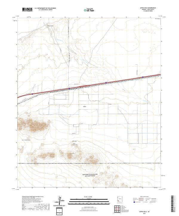
2021 Map of Aztec Hills
USGS Topo · Published 2021About this map
Aztec lies at the heart of this desert landscape in Yuma County, positioned along the historical transport corridor that includes Old Hwy 80 and a modern frontage road system. The terrain is defined by the sharp rise of the Aztec Hills and prominent peaks like White Mtn and Half White Mtn to the south, while the northern expanse is shaped by the drainage patterns of Tenmile Wash and Canyon Diablo. This 2021 survey illustrates the transition from the San Cristobal Valley to the higher elevations of Park Valley, documenting the grid-based road network including Burm Blvd and E Co 2nd St that serves the small settlement and surrounding arid lands.
Find a feature on this map
22 named features on this map. Tap any name to fly to it.
Don’t see what you’re looking for? This feature index may not catch every label — zoom into the map to look around manually.
Map Details
Editions of this 2021 Aztec Hills Map
This is the sole edition of this map. No revisions or reprints were ever made.
Other maps of this area

1927 · Aguila Mountains
USGS Topo · 1:48,000

1927 · Kim
USGS Topo · 1:62,500

1929 · Aztec
USGS Topo · 1:62,500

1930 · Aguila Mountains
USGS Topo · 1:62,500

1930 · Stoval
USGS Topo · 1:62,500

1931 · Kim
USGS Topo · 1:62,500

1950 · Stoval
USGS Topo · 1:62,500

1950 · Aztec
USGS Topo · 1:62,500

1953 · Ajo
USGS Topo · 1:250,000

1957 · Ajo
USGS Topo · 1:250,000