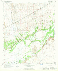
1965 Map of Aztec NW
USGS Topo · Published 1966About this map
The Gila River meanders through this arid landscape, creating a band of vegetation between the Hyder Valley to the north and Park Valley to the south. This mid-1960s survey documents a transition in land use, where traditional desert landmarks like the Palomas ruins and Baragan Well contrast with the industrial presence of the Southern Pacific railroad and a modern Landing Strip at the White Wing Ranch. Evidence of water management is visible in the network of canals and ditches, including the South Ditch, which attempt to harness the river's flow for the surrounding plains. To the east of the river's bend, prominent Sand Dunes and The Lagoon mark the natural topography, while the Palomas Harquahala Road serves as a primary north-south artery through the desert flats.
Find a feature on this map
21 named features on this map. Tap any name to fly to it.
Don’t see what you’re looking for? This feature index may not catch every label — zoom into the map to look around manually.
Map Details
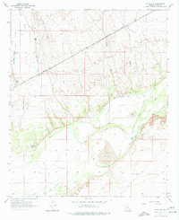
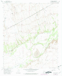
Editions of this 1965 Aztec NW Map
3 editions found
Other maps of this area

1927 · Hyder
USGS Topo · 1:62,500

1929 · Aztec
USGS Topo · 1:62,500

1930 · Stoval
USGS Topo · 1:62,500

1930 · Hyder
USGS Topo · 1:62,500

1942 · Vicksburg
USGS Topo · 1:250,000

1950 · Stoval
USGS Topo · 1:62,500

1950 · Aztec
USGS Topo · 1:62,500

1953 · Ajo
USGS Topo · 1:250,000

1954 · Phoenix
USGS Topo · 1:250,000

1957 · Ajo
USGS Topo · 1:250,000