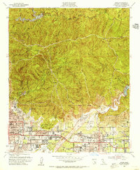
1953 Map of Azusa
USGS Topo · Published 1955About this map
The San Gabriel Mountains tower over the burgeoning post-war suburbs of Monrovia, Duarte, and Azusa in this mid-century survey. The landscape is defined by massive water management projects, including the Santa Fe Dam and its associated Santa Fe Flood Control Basin, which dominate the southern valley floor. To the north, the San Gabriel River winds through deep canyons, regulated by the Morris and Cogswell dams. The map reveals a transition from the wild peaks of the Angeles National Forest, marked by lookouts like Pine Mountain, to the dense residential grids below. Local landmarks like Westminster Gardens and Citrus Union High School and Jr College provide specific points of interest for genealogists, while the Pacific Electric lines trace the region's historic transit infrastructure.
Find a feature on this map
76 named features on this map. Tap any name to fly to it.
Don’t see what you’re looking for? This feature index may not catch every label — zoom into the map to look around manually.
Map Details
Editions of this 1953 Azusa Map
2 editions found
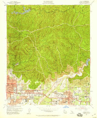
Other maps of this area

1894 · Los Angeles
USGS Topo · 1:62,500

1894 · Pomona
USGS Topo · 1:62,500

1896 · Pasadena
USGS Topo · 1:62,500

1897 · Pomona
USGS Topo · 1:62,500

1898 · Pomona
USGS Topo · 1:62,500

1900 · Pasadena
USGS Topo · 1:62,500

1900 · Tujunga
USGS Topo · 1:62,500

1900 · Los Angeles
USGS Topo · 1:62,500

1901 · Southern California Sheet No. 1
USGS Topo · 1:250,000

1903 · Rock Creek
USGS Topo · 1:62,500