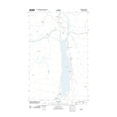
2011 Map of Babb
USGS Topo · Published 2011About this map
Babb serves as the primary settlement in this northern Montana landscape, located near the intersection of Many Glacier Rd and Red Rock Rd. The area is defined by the significant hydraulic works of the Saint Mary Canal, which runs parallel to the Saint Mary River north of Lower Saint Mary Lake. This 2011 survey documents the community infrastructure, including the Babb Post Office, the Babb Airport, and the Babb - Saint Mary Vol Fire Dept.
Find a feature on this map
29 named features on this map. Tap any name to fly to it.
Don’t see what you’re looking for? This feature index may not catch every label — zoom into the map to look around manually.
Map Details
Editions of this 2011 Babb Map
This is the sole edition of this map. No revisions or reprints were ever made.
Other maps of this area

1901 · Browning
USGS Topo · 1:125,000

1903 · Browning
USGS Topo · 1:125,000

1904 · Chief Mountain
USGS Topo · 1:125,000

1938 · Chief Mountain
USGS Topo · 1:125,000

1960 · Cut Bank
USGS Topo · 1:250,000

1963 · Cut Bank
USGS Topo · 1:250,000

1964 · Cut Bank
USGS Topo · 1:250,000

1968 · Saint Mary
USGS Topo · 1:24,000

1968 · Babb
USGS Topo · 1:24,000

1968 · Josephine
USGS Topo · 1:24,000