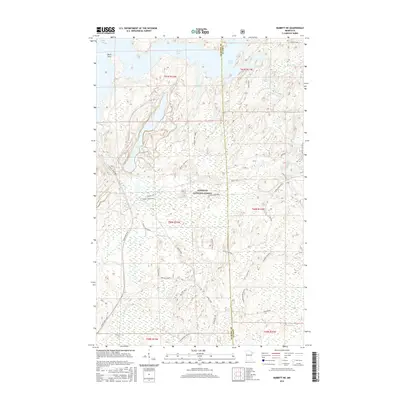
2016 Map of Babbitt NE
USGS Topo · Published 2016About this map
The Superior National Forest dominates this northeastern Minnesota landscape, where the waters of Birch Lake transition into a complex network of wetlands and river systems. The northern reaches of the map are defined by the intricate shoreline of Bob Bay and Birch Point, while the interior is crisscrossed by specialized access routes such as Stony Spur Trail and Dunka Mine Road. These paths signify the area's dual identity as both a protected wilderness and a site of industrial resource extraction.
Find a feature on this map
26 named features on this map. Tap any name to fly to it.
Don’t see what you’re looking for? This feature index may not catch every label — zoom into the map to look around manually.
Map Details
Editions of this 2016 Babbitt NE Map
This is the sole edition of this map. No revisions or reprints were ever made.
Other maps of this area

1933 · Ely
USGS Topo · 1:62,500

1939 · Ely
USGS Topo · 1:62,500

1951 · Babbitt SW
USGS Topo · 1:24,000

1951 · Babbitt
USGS Topo · 1:24,000

1952 · Babbitt SE
USGS Topo · 1:24,000

1952 · Babbitt NE
USGS Topo · 1:24,000

1954 · Greenwood Lake
USGS Topo · 1:62,500

1954 · Two Harbors
USGS Topo · 1:250,000

1957 · Two Harbors
USGS Topo · 1:250,000

1957 · Gabbro Lake
USGS Topo · 1:62,500
Featured Places
- Babbitt, MN
- Bassett Township, MN
- Birch Lake (Unorganized Territory), MN
- Lake No. 2, MN
- Stony River Township, MN