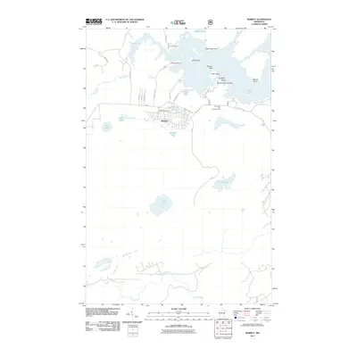
2011 Map of Babbitt
USGS Topo · Published 2011About this map
Babbitt's planned street grid, including Robert St and Joseph St, anchors this survey of a water-dominated landscape in northern Minnesota. Built around the mining industry, the town is shown here with its Babbitt Post Office and proximity to substantial recreation areas like the Birch Lake and Campgrounds. The topography is defined by the massive, irregular reach of Birch Lake, which features numerous named points and hazards such as Eagle Nest Point, Marsyla Reef, and Blueberry Island Reef.
Find a feature on this map
38 named features on this map. Tap any name to fly to it.
Don’t see what you’re looking for? This feature index may not catch every label — zoom into the map to look around manually.
Map Details
Editions of this 2011 Babbitt Map
This is the sole edition of this map. No revisions or reprints were ever made.
Other maps of this area

1933 · Ely
USGS Topo · 1:62,500

1939 · Ely
USGS Topo · 1:62,500

1949 · Isaac Lake
USGS Topo · 1:24,000

1949 · Allen
USGS Topo · 1:24,000

1950 · Isaac Lake
USGS Topo · 1:24,000

1950 · Allen
USGS Topo · 1:24,000

1951 · Babbitt SW
USGS Topo · 1:24,000

1951 · Babbitt
USGS Topo · 1:24,000

1952 · Babbitt SE
USGS Topo · 1:24,000

1952 · Babbitt NE
USGS Topo · 1:24,000
Featured Places
- Babbitt, MN
- Bassett Township, MN
- Birch Lake (Unorganized Territory), MN
- Saint Louis County, MN
- United States