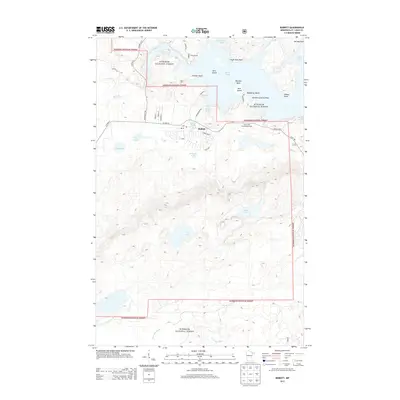
2013 Map of Babbitt
USGS Topo · Published 2013About this map
Babbitt sits at the heart of this Iron Range landscape, characterized by a dense network of water bodies and the extensive reaches of the Superior National Forest. The town's grid, featuring streets like Cypress Blvd and Elm Blvd, serves as a hub for the surrounding wilderness and recreational areas. To the north, the sprawling Birch Lake is punctuated by numerous points and islands, including Eagle Nest Point and Deer Island, while smaller, more secluded waters like Argo Lake and Iron Lake lie to the south. The presence of Camp Rivard and the Birch Lake and Campgrounds indicates a long-standing tradition of forest management and seasonal residency. Significant waterways such as the Partridge River and Birch River Narrows wind through the terrain, illustrating the complex hydrography that has shaped the region's development and use.
Find a feature on this map
44 named features on this map. Tap any name to fly to it.
Don’t see what you’re looking for? This feature index may not catch every label — zoom into the map to look around manually.
Map Details
Editions of this 2013 Babbitt Map
This is the sole edition of this map. No revisions or reprints were ever made.
Other maps of this area

1933 · Ely
USGS Topo · 1:62,500

1939 · Ely
USGS Topo · 1:62,500

1949 · Isaac Lake
USGS Topo · 1:24,000

1949 · Allen
USGS Topo · 1:24,000

1950 · Isaac Lake
USGS Topo · 1:24,000

1950 · Allen
USGS Topo · 1:24,000

1951 · Babbitt SW
USGS Topo · 1:24,000

1951 · Babbitt
USGS Topo · 1:24,000

1952 · Babbitt SE
USGS Topo · 1:24,000

1952 · Babbitt NE
USGS Topo · 1:24,000
Featured Places
- Babbitt, MN
- Bassett Township, MN
- Birch Lake (Unorganized Territory), MN
- Saint Louis County, MN
- United States