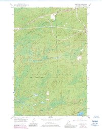
1951 Map of Babbitt SW
USGS Topo · Published 1985About this map
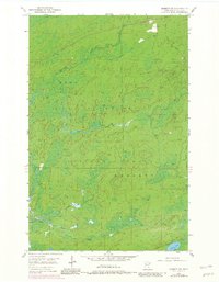
The industrial infrastructure of the Erie Mining Company Railroad dominates the northern half of this landscape, carving through the dense woodlands within the Superior National Forest. While much of the terrain is defined by the marshy lowlands of the Partridge River and its tributary, the South Branch Partridge River, the map documents the growing reach of the Babbitt Corporate Boundary as it extends into the wilderness. The intersection of resource extraction and preservation is clear, as rail lines for the taconite industry bypass small water bodies like Stone Lake and drainage ways such as Cranberry Cr and Colvin Creek. This survey, originally conducted in the early 1950s and updated with mid-1980s aerial data, provides a look at the expansion of the Mesabi Range mining economy into the town of Bassett and the surrounding forest.
Find a feature on this map
10 named features on this map. Tap any name to fly to it.
Don’t see what you’re looking for? This feature index may not catch every label — zoom into the map to look around manually.
Map Details
Editions of this 1951 Babbitt SW Map
6 editions found
Other maps of this area

1949 · Isaac Lake
USGS Topo · 1:24,000

1949 · Allen
USGS Topo · 1:24,000

1950 · Isaac Lake
USGS Topo · 1:24,000

1950 · Allen
USGS Topo · 1:24,000

1951 · Babbitt SW
USGS Topo · 1:24,000

1951 · Babbitt
USGS Topo · 1:24,000

1952 · Babbitt SE
USGS Topo · 1:24,000

1952 · Babbitt NE
USGS Topo · 1:24,000

1954 · Two Harbors
USGS Topo · 1:250,000

1954 · Hibbing
USGS Topo · 1:250,000