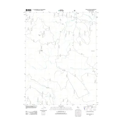
2012 Map of Babcock Peak
USGS Topo · Published 2012About this map
Babcock Peak and Papoose Peak dominate this Sierra Nevada landscape in eastern Plumas County, defining a region where water and high-altitude valleys dictate the geography. The area's history of ranching and timber is reflected in features like Camp Fourteen and the strategic Murdock Crossing over Last Chance Cr. The drainage network is complex, with Red Clover Cr and Squaw Queen Cr carving through the high country.
Find a feature on this map
52 named features on this map. Tap any name to fly to it.
Don’t see what you’re looking for? This feature index may not catch every label — zoom into the map to look around manually.
Map Details
Editions of this 2012 Babcock Peak Map
This is the sole edition of this map. No revisions or reprints were ever made.
Other maps of this area

1886 · Honey Lake
USGS Topo · 1:250,000

1890 · Sierraville
USGS Topo · 1:125,000

1891 · Downieville
USGS Topo · 1:125,000

1891 · Honey Lake
USGS Topo · 1:250,000

1892 · Sierraville
USGS Topo · 1:125,000

1893 · Honey Lake
USGS Topo · 1:250,000

1893 · Downieville
USGS Topo · 1:125,000

1894 · Sierraville
USGS Topo · 1:125,000

1895 · Downieville
USGS Topo · 1:125,000

1896 · Downieville
USGS Topo · 1:125,000