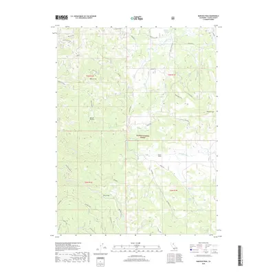
2018 Map of Babcock Peak
USGS Topo · Published 2018About this map
Babcock Peak and Papoose Peak define the high terrain of this portion of the Plumas National Forest as recorded in 2018. The landscape is marked by a complex network of forest roads and historic infrastructure, including the remnants of a Railroad Grade and a Railroad Spur that trace the path of former timber or mining operations. Low-lying areas like Babcock Meadows and Squaw Valley provide a contrast to the ridges, served by water sources such as Cinder Spring and Poison Creek Spring. Civil engineering and seasonal habitation are evident through features like Notson Bridge, Clover Valley Camp, and the Spring Cabin. The map also preserves the location of the Dodge Mine, anchoring the area's industrial history within the drainage basins of Last Chance Creek and Squaw Queen Creek.
Find a feature on this map
46 named features on this map. Tap any name to fly to it.
Don’t see what you’re looking for? This feature index may not catch every label — zoom into the map to look around manually.
Map Details
Editions of this 2018 Babcock Peak Map
This is the sole edition of this map. No revisions or reprints were ever made.
Other maps of this area

1886 · Honey Lake
USGS Topo · 1:250,000

1890 · Sierraville
USGS Topo · 1:125,000

1891 · Downieville
USGS Topo · 1:125,000

1891 · Honey Lake
USGS Topo · 1:250,000

1892 · Sierraville
USGS Topo · 1:125,000

1893 · Honey Lake
USGS Topo · 1:250,000

1893 · Downieville
USGS Topo · 1:125,000

1894 · Sierraville
USGS Topo · 1:125,000

1895 · Downieville
USGS Topo · 1:125,000

1896 · Downieville
USGS Topo · 1:125,000