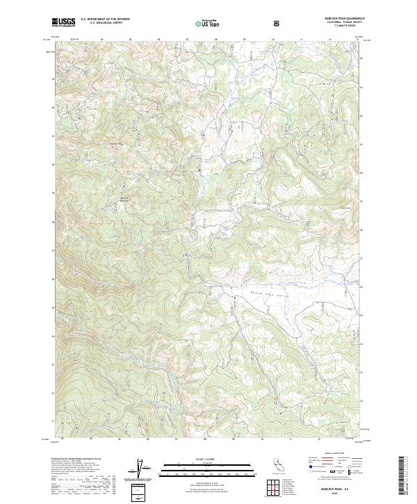
2023 Map of Babcock Peak
USGS Topo · Published 2023About this map
Babcock Peak and Papoose Peak define the high terrain of this portion of the Plumas National Forest, where steep ridges give way to the expansive Beyem Seyo Valley. The landscape is defined by its complex drainage network, primarily the westward flow of Last Chance Creek and Red Clover Creek, which are fed by numerous named water sources such as Murdock Crossing Spring, Cinder Spring, and Big Pine Spring.
Find a feature on this map
23 named features on this map. Tap any name to fly to it.
Don’t see what you’re looking for? This feature index may not catch every label — zoom into the map to look around manually.
Map Details
Editions of this 2023 Babcock Peak Map
This is the sole edition of this map. No revisions or reprints were ever made.
Other maps of this area

1886 · Honey Lake
USGS Topo · 1:250,000

1890 · Sierraville
USGS Topo · 1:125,000

1891 · Downieville
USGS Topo · 1:125,000

1891 · Honey Lake
USGS Topo · 1:250,000

1892 · Sierraville
USGS Topo · 1:125,000

1893 · Honey Lake
USGS Topo · 1:250,000

1893 · Downieville
USGS Topo · 1:125,000

1894 · Sierraville
USGS Topo · 1:125,000

1895 · Downieville
USGS Topo · 1:125,000

1896 · Downieville
USGS Topo · 1:125,000