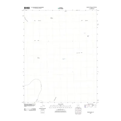
2010 Map of Baboon Peak
USGS Topo · Published 2010About this map
Baboon Peak stands as the central landmark in this high-desert region of Iron County, where water is the primary driver of the landscape's character. In an arid environment defined by the Black Mountains and Mound Mountain, localized water sources like Baboon Seep, Lost Spring, and Marshall Pond were essential for grazing and survival. The geography is carved by seasonal drainages such as Hot Springs Canyon, Jako Wash, and Lost Spring Hollow, which guide movement through the terrain. Evidence of travel and livestock history is visible in the identification of Horse Valley and Little Horse Valley, joined by a route known as Lost Spring Rd that winds through The Narrows. This survey provides a record of these vital landmarks and corridors that define the high-plateau backcountry.
Find a feature on this map
14 named features on this map. Tap any name to fly to it.
Don’t see what you’re looking for? This feature index may not catch every label — zoom into the map to look around manually.
Map Details
Editions of this 2010 Baboon Peak Map
This is the sole edition of this map. No revisions or reprints were ever made.
Other maps of this area

1885 · St. George
USGS Topo · 1:250,000

1885 · Beaver
USGS Topo · 1:250,000

1886 · Kanab
USGS Topo · 1:250,000

1891 · St. George
USGS Topo · 1:250,000

1950 · Enoch
USGS Topo · 1:62,500

1950 · Enoch NE
USGS Topo · 1:24,000
1952 · Enoch NW
USGS Topo · 1:24,000

1952 · Enoch NE
USGS Topo · 1:24,000

1953 · Ninemile Knoll
USGS Topo · 1:24,000

1953 · Minersville
USGS Topo · 1:24,000