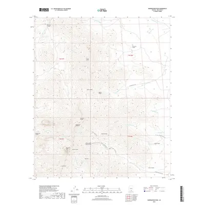
2018 Map of Baboquivari Peak
USGS Topo · Published 2018About this map
Baboquivari Peak serves as the focal point of the Baboquivari Mountains in this Pima County landscape. The area is defined by a dense network of drainages including Mulberry Wash, Sabino Wash, and Chiltepines Wash that carve through the high desert terrain. Notable geological and cultural landmarks are scattered throughout the peaks, most notably Itois Eyes and the Brown Canyon Natural Bridge.
Find a feature on this map
40 named features on this map. Tap any name to fly to it.
Don’t see what you’re looking for? This feature index may not catch every label — zoom into the map to look around manually.
Map Details
Editions of this 2018 Baboquivari Peak Map
This is the sole edition of this map. No revisions or reprints were ever made.
Other maps of this area

1920 · Arivaca
USGS Topo · 1:125,000

1940 · Palo Alto Ranch
USGS Topo · 1:62,500

1941 · Presumido Peak
USGS Topo · 1:62,500

1941 · Baboquivari Peak
USGS Topo · 1:62,500

1941 · Arivaca
USGS Topo · 1:62,500

1943 · Fresnal
USGS Topo · 1:125,000

1943 · Arivaca
USGS Topo · 1:62,500

1943 · Palo Alto Ranch
USGS Topo · 1:62,500

1943 · Presumido Peak
USGS Topo · 1:62,500

1944 · Baboquivari Peak
USGS Topo · 1:62,500