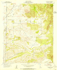
1953 Map of Bachelor Mtn.
USGS Topo · Published 1955About this map
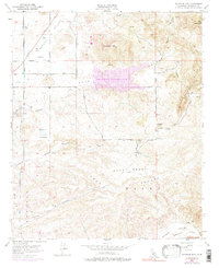
French Valley and the surrounding agricultural landscape define this portion of Riverside County in the early 1950s. The map illustrates a rural interior transition, where the San Diego Aqueduct cuts through the western terrain, signaling the infrastructure developments critical to Southern California's growth. High-elevation points like Bachelor Mtn and Black Mtn overlook a series of named basins, including Auld Valley and Pauba Valley, where the settlement pattern is sparse and centered on sites like the Auld Ranch.
Find a feature on this map
27 named features on this map. Tap any name to fly to it.
Don’t see what you’re looking for? This feature index may not catch every label — zoom into the map to look around manually.
Map Details
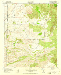
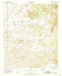
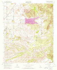
Editions of this 1953 Bachelor Mtn. Map
6 editions found
Other maps of this area

1901 · Southern California Sheet No. 1
USGS Topo · 1:250,000

1901 · San Jacinto
USGS Topo · 1:125,000

1901 · Elsinore
USGS Topo · 1:125,000

1901 · San Luis Rey
USGS Topo · 1:125,000

1903 · Ramona
USGS Topo · 1:125,000

1904 · Southern California Sheet No. 2
USGS Topo · 1:250,000

1904 · Southern California Sheet No. 1
USGS Topo · 1:250,000

1939 · Palomar Mountain
USGS Topo · 1:62,500

1942 · Temecula
USGS Topo · 1:62,500

1942 · Hemet
USGS Topo · 1:62,500