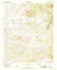
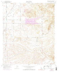
1953 Map of Bachelor Mtn.
USGS Topo · Published 1971About this map
Auld Valley and the surrounding high desert terrain dominate this early 1950s landscape, characterized by a network of seasonal watercourses and rural ranching infrastructure. The map reveals a transition between the valley floor and the heights of Bachelor Mtn and Black Mtn. Local education and early settlement patterns are visible through markers like the Alamos Sch and the Hyatt Sch (Aban'd), the latter explicitly noted as no longer in use at the time of the survey.
Find a feature on this map
23 named features on this map. Tap any name to fly to it.
Don’t see what you’re looking for? This feature index may not catch every label — zoom into the map to look around manually.
Map Details
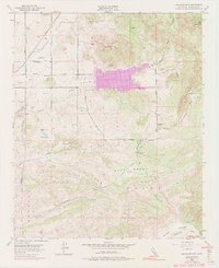
Editions of this 1953 Bachelor Mtn. Map
6 editions found
Other maps of this area

1901 · Southern California Sheet No. 1
USGS Topo · 1:250,000

1901 · San Jacinto
USGS Topo · 1:125,000

1901 · Elsinore
USGS Topo · 1:125,000

1901 · San Luis Rey
USGS Topo · 1:125,000

1903 · Ramona
USGS Topo · 1:125,000

1904 · Southern California Sheet No. 2
USGS Topo · 1:250,000

1904 · Southern California Sheet No. 1
USGS Topo · 1:250,000

1939 · Palomar Mountain
USGS Topo · 1:62,500

1942 · Temecula
USGS Topo · 1:62,500

1942 · Hemet
USGS Topo · 1:62,500