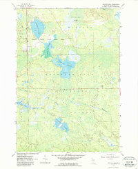
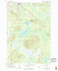
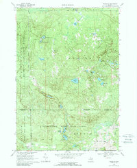
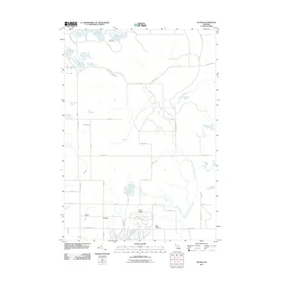
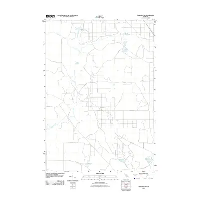
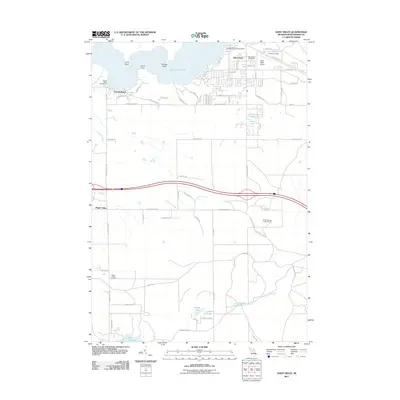
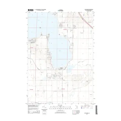
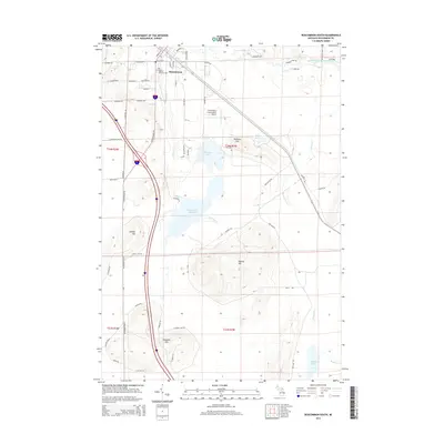
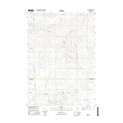
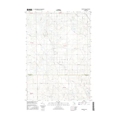
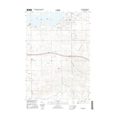
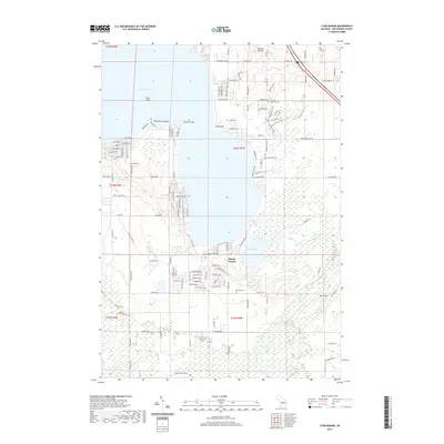
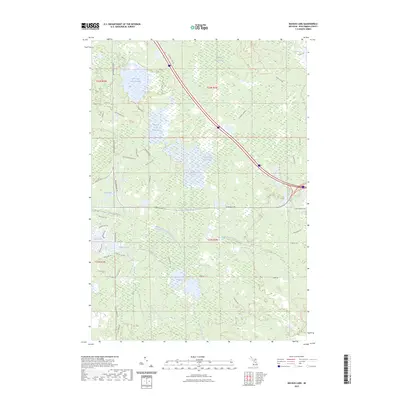
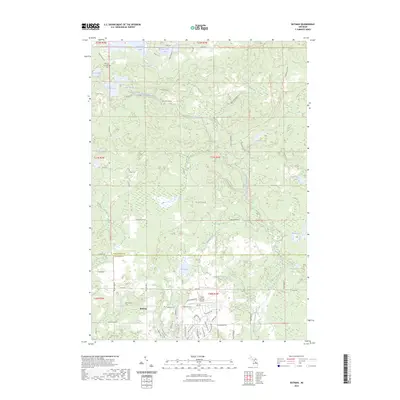
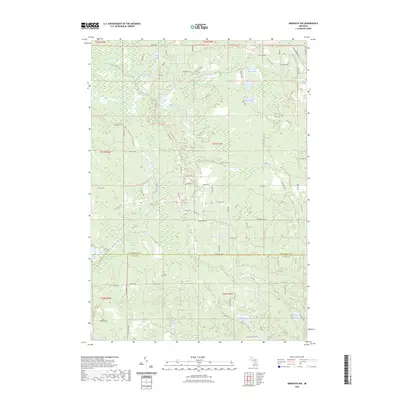
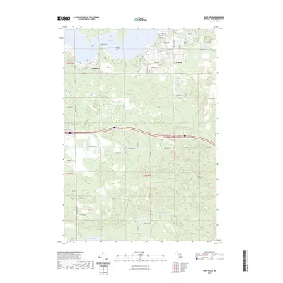
1963 Map of Backus Lake
USGS Topo · Published 1988About this map
Backus Creek State Game Area and the surrounding Houghton Lake State Forest define this landscape in Roscommon County, dominated by an intricate system of wetlands and managed impoundments. The geography is characterized by several "flooding" areas, including the Little Mud Lake Flooding, Backus Creek Flooding, and Denton Creek Flooding, which illustrate mid-century conservation and water management efforts in Michigan's Lower Peninsula.
Find a feature on this map
22 named features on this map. Tap any name to fly to it.
Don’t see what you’re looking for? This feature index may not catch every label — zoom into the map to look around manually.
Map Details
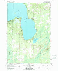
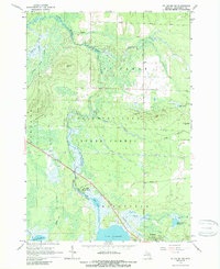
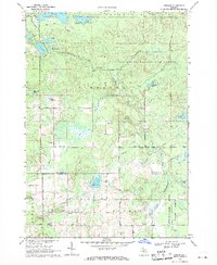
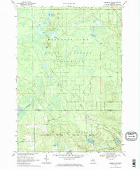
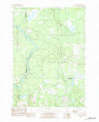
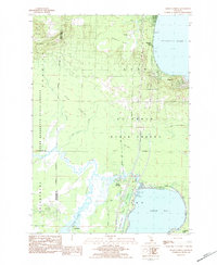
Editions of this 1963 Backus Lake Map
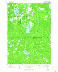
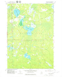
Historical Maps of Backus Township Through Time
59 maps found
1963 Backus Lake
Roscommon County, MI
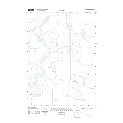
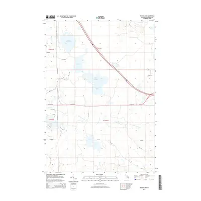
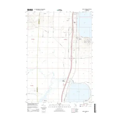
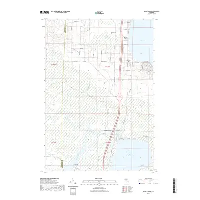
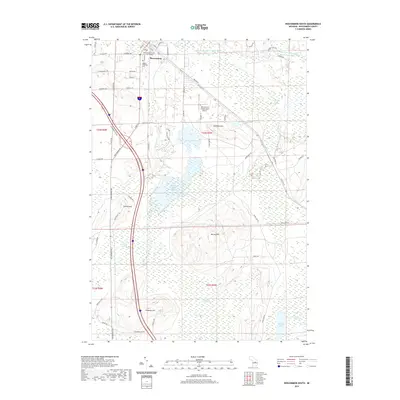
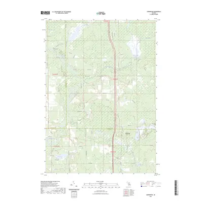
1963 Lyon Manor
Roscommon County, MI
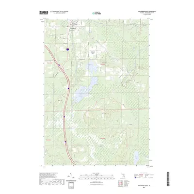
1963 Roscommon South
Roscommon County, MI
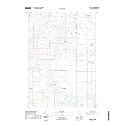
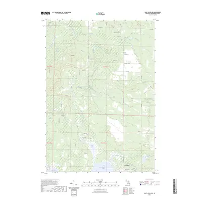
1965 St. Helen NW
Roscommon County, MI
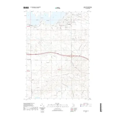
1969 Butman
Roscommon County, MI
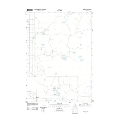
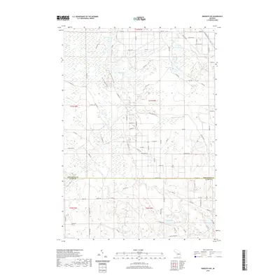
1969 Meredith NW
Roscommon County, MI
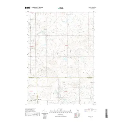
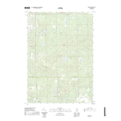
1969 Meredith
Roscommon County, MI
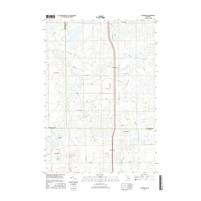
1983 Cooperton
Roscommon County, MI
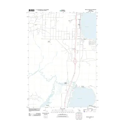
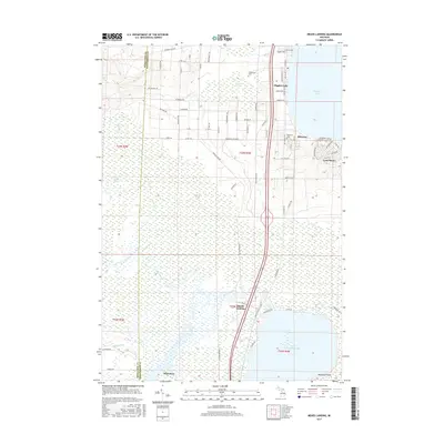
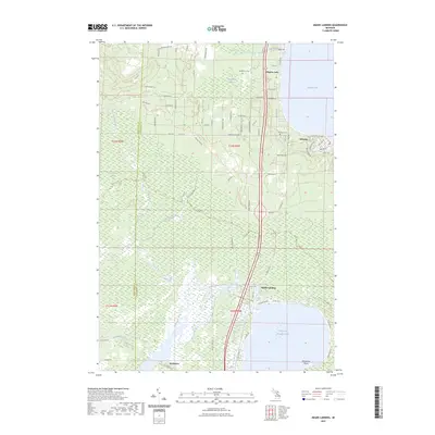
1983 Meads Landing
Roscommon County, MI
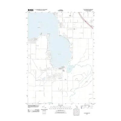
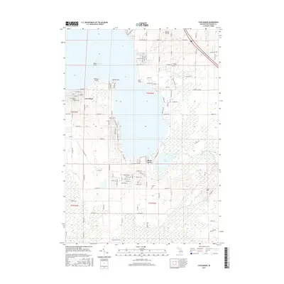
2011 Backus Lake
Roscommon County, MI
2011 Butman
Roscommon County, MI
2011 Cooperton
Roscommon County, MI
2011 Lyon Manor
Roscommon County, MI
2011 Meads Landing
Roscommon County, MI
2011 Meredith NW
Roscommon County, MI
2011 Meredith
Roscommon County, MI
2011 Roscommon South
Roscommon County, MI
2011 Saint Helen NW
Roscommon County, MI
2011 Saint Helen
Roscommon County, MI
2014 Backus Lake
Roscommon County, MI
2014 Butman
Roscommon County, MI
2014 Cooperton
Roscommon County, MI
2014 Lyon Manor
Roscommon County, MI
2014 Meads Landing
Roscommon County, MI
2014 Meredith NW
Roscommon County, MI
2014 Meredith
Roscommon County, MI
2014 Roscommon South
Roscommon County, MI
2014 Saint Helen NW
Roscommon County, MI
2014 Saint Helen
Roscommon County, MI
2017 Backus Lake
Roscommon County, MI
2017 Butman
Roscommon County, MI
2017 Cooperton
Roscommon County, MI
2017 Lyon Manor
Roscommon County, MI
2017 Meads Landing
Roscommon County, MI
2017 Meredith NW
Roscommon County, MI
2017 Meredith
Roscommon County, MI
2017 Roscommon South
Roscommon County, MI
2017 Saint Helen NW
Roscommon County, MI
2017 Saint Helen
Roscommon County, MI
2019 Backus Lake
Roscommon County, MI
2019 Butman
Roscommon County, MI
2019 Cooperton
Roscommon County, MI
2019 Lyon Manor
Roscommon County, MI
2019 Meads Landing
Roscommon County, MI
2019 Meredith NW
Roscommon County, MI
2019 Meredith
Roscommon County, MI
2019 Roscommon South
Roscommon County, MI
2019 Saint Helen NW
Roscommon County, MI
2019 Saint Helen
Roscommon County, MI
2023 Backus Lake
Roscommon County, MI
2023 Butman
Roscommon County, MI
2023 Cooperton
Roscommon County, MI
2023 Lyon Manor
Roscommon County, MI
2023 Meads Landing
Roscommon County, MI
2023 Meredith NW
Roscommon County, MI
2023 Meredith
Roscommon County, MI
2023 Roscommon South
Roscommon County, MI
2023 Saint Helen NW
Roscommon County, MI
2023 Saint Helen
Roscommon County, MI