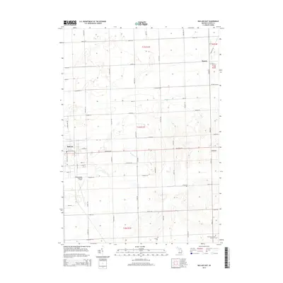
2014 Map of Bad Axe East
USGS Topo · Published 2014About this map
Bad Axe serves as the focal point for this section of the Thumb region, where the urban grid of the city meets the expansive agricultural layout of Huron County. The landscape is defined by its rectilinear road network, including notable thoroughfares such as Sand Beach Rd and N Ubly Rd, which connect the seat of Huron County to surrounding rural hamlets like Verona and Rapson. The presence of several distinct burial grounds, including the Holy Trinity German Catholic Cem and Saint Joseph Cem, highlights the diverse cultural and religious foundations of the early farming communities that settled this area.
Find a feature on this map
61 named features on this map. Tap any name to fly to it.
Don’t see what you’re looking for? This feature index may not catch every label — zoom into the map to look around manually.
Map Details
Editions of this 2014 Bad Axe East Map
This is the sole edition of this map. No revisions or reprints were ever made.
Other maps of this area

1954 · Flint
USGS Topo · 1:250,000

1958 · Flint
USGS Topo · 1:250,000

1963 · New Greenleaf
USGS Topo · 1:24,000

1963 · Ubly
USGS Topo · 1:24,000

1963 · Minden City
USGS Topo · 1:24,000

1970 · Kinde East
USGS Topo · 1:24,000

1970 · Redman
USGS Topo · 1:24,000

1970 · Kinde West
USGS Topo · 1:24,000

1970 · Bad Axe West
USGS Topo · 1:24,000

1970 · Bad Axe SE
USGS Topo · 1:24,000