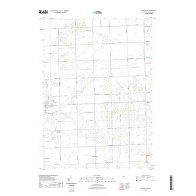
2019 Map of Bad Axe East
USGS Topo · Published 2019About this map
Bad Axe serves as the focal point of this agricultural landscape in Huron County, where the grid-like precision of section lines and township roads defines the terrain. The eastern reaches of the city extend toward the Huron County Memorial Airport and the Huron County Building, while the surrounding countryside is marked by an extensive network of drainage systems such as Symons Drain and Hubbard Drain. These channels reflect the long-term management of the local watershed to support the fertile farm fields of the Thumb region.
Find a feature on this map
84 named features on this map. Tap any name to fly to it.
Don’t see what you’re looking for? This feature index may not catch every label — zoom into the map to look around manually.
Map Details
Editions of this 2019 Bad Axe East Map
This is the sole edition of this map. No revisions or reprints were ever made.
Other maps of this area

1954 · Flint
USGS Topo · 1:250,000

1958 · Flint
USGS Topo · 1:250,000

1963 · New Greenleaf
USGS Topo · 1:24,000

1963 · Ubly
USGS Topo · 1:24,000

1963 · Minden City
USGS Topo · 1:24,000

1970 · Kinde East
USGS Topo · 1:24,000

1970 · Redman
USGS Topo · 1:24,000

1970 · Kinde West
USGS Topo · 1:24,000

1970 · Bad Axe West
USGS Topo · 1:24,000

1970 · Bad Axe SE
USGS Topo · 1:24,000