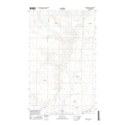
2017 Map of Badger Creek
USGS Topo · Published 2017About this map
The Poplar River winds through this section of Roosevelt County, creating a complex drainage network characterized by numerous named tributaries. The river valley is flanked by several small creeks, including Badger Cr and Flea Cr, which carve through the Montana landscape. Near the southern edge of the quadrangle, the Poplar Municipal Airport serves as a modern waypoint, situated along a series of Bureau of Indian Affairs routes such as BIA Rte 75 and BIA Rte 150.
Find a feature on this map
34 named features on this map. Tap any name to fly to it.
Don’t see what you’re looking for? This feature index may not catch every label — zoom into the map to look around manually.
Map Details
Editions of this 2017 Badger Creek Map
This is the sole edition of this map. No revisions or reprints were ever made.
Other maps of this area

1910 · Cuskers
USGS Topo · 1:62,500

1912 · Chelsea
USGS Topo · 1:62,500

1912 · Hay Creek
USGS Topo · 1:62,500

1912 · Poplar
USGS Topo · 1:62,500

1915 · Cuskers
USGS Topo · 1:62,500

1954 · Wolf Point
USGS Topo · 1:250,000

1958 · Wolf Point
USGS Topo · 1:250,000

1972 · Poplar
USGS Topo · 1:24,000

1972 · Chelsea
USGS Topo · 1:24,000

1972 · Poplar NE
USGS Topo · 1:24,000