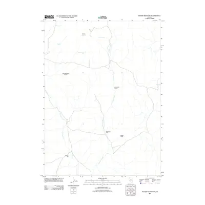
2011 Map of Badger Mountain SE
USGS Topo · Published 2011About this map
Badger Mountain dominates the northern reaches of this high-desert landscape in Washoe County, serving as a landmark for the surrounding terrain. Life in this arid region is defined by its intermittent water sources and the deep cuts of its canyons. The drainage of Wall Canyon Creek winds through the western section, while Cottonwood Creek carves a path through the central and southern portions, eventually passing near Shoestring Valley and the dramatic Wildcat Gorge.
Find a feature on this map
14 named features on this map. Tap any name to fly to it.
Don’t see what you’re looking for? This feature index may not catch every label — zoom into the map to look around manually.
Map Details
Editions of this 2011 Badger Mountain SE Map
This is the sole edition of this map. No revisions or reprints were ever made.
Other maps of this area

1889 · Long Valley
USGS Topo · 1:250,000

1954 · Vya
USGS Topo · 1:250,000

1958 · Vya
USGS Topo · 1:250,000

1962 · Vya
USGS Topo · 1:250,000

1965 · Rock Spring Table
USGS Topo · 1:62,500

1966 · Badger Mtn NW
USGS Topo · 1:24,000

1966 · Blowout Mtn
USGS Topo · 1:24,000

1966 · Nut Mountain
USGS Topo · 1:24,000

1966 · Badger Mtn SE
USGS Topo · 1:24,000

1972 · Soldier Meadow
USGS Topo · 1:24,000