
1966 Map of Nut Mountain
USGS Topo · Published 1969About this map
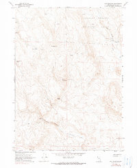
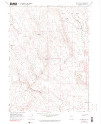
The Charles Sheldon Antelope Range dominates this mid-1960s terrain in northwestern Nevada, characterized by a complex network of high-desert water sources and remote cattle ranching infrastructure. Vital water points such as Miller and Lux Spring, Sagehen Spring, and Rock Spring are scattered across the landscape, connected by a primitive network of jeep trails and footpaths. These trails traverse the dramatic elevation changes around Nut Mountain and the steep descent into Hanging Rock Canyon.
Find a feature on this map
19 named features on this map. Tap any name to fly to it.
Don’t see what you’re looking for? This feature index may not catch every label — zoom into the map to look around manually.
Map Details
Editions of this 1966 Nut Mountain Map
3 editions found
Other maps of this area

1889 · Long Valley
USGS Topo · 1:250,000

1954 · Vya
USGS Topo · 1:250,000

1958 · Vya
USGS Topo · 1:250,000

1962 · Vya
USGS Topo · 1:250,000

1966 · Badger Mtn NW
USGS Topo · 1:24,000

1966 · Massacre Lake
USGS Topo · 1:24,000

1966 · Blowout Mtn
USGS Topo · 1:24,000

1966 · Badger Mtn SE
USGS Topo · 1:24,000

1966 · Massacre Creek
USGS Topo · 1:24,000
1972 · Yellow Hills East
USGS Topo · 1:24,000