
1966 Map of Badger Mtn SE
USGS Topo · Published 1969About this map
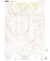
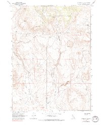
The Charles Sheldon Antelope Range dominates the northern landscape of this remote high-desert survey, where the border of Washoe and Humboldt Counties meets. The topography is defined by sharp elevation changes, notably around Badger Mountain, which gives way to a network of drainage systems including Little Cottonwood Canyon and the deeply incised Wall Canyon. This is an environment where water is the primary focus of settlement and survival, evidenced by numerous named water sources like Domingo Spring, Wheeler Spring, and Bateman Spring scattered across the arid terrain.
Find a feature on this map
20 named features on this map. Tap any name to fly to it.
Don’t see what you’re looking for? This feature index may not catch every label — zoom into the map to look around manually.
Map Details
Editions of this 1966 Badger Mtn SE Map
3 editions found
Other maps of this area

1889 · Long Valley
USGS Topo · 1:250,000

1954 · Vya
USGS Topo · 1:250,000

1958 · Vya
USGS Topo · 1:250,000

1962 · Vya
USGS Topo · 1:250,000

1965 · Rock Spring Table
USGS Topo · 1:62,500

1966 · Badger Mtn NW
USGS Topo · 1:24,000

1966 · Blowout Mtn
USGS Topo · 1:24,000

1966 · Nut Mountain
USGS Topo · 1:24,000

1972 · Soldier Meadow
USGS Topo · 1:24,000
1972 · Yellow Hills East
USGS Topo · 1:24,000