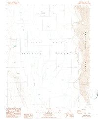
1986 Map of Badwater
USGS Topo · Published 1987About this map
Badwater Basin anchors this survey of a unique desert floor, defining a landscape of extreme elevations and harsh hydrology. This map documents the Lowest Point in United States, where the Amargosa River drains into the salt-crusted expanse of Death Valley National Monument. The basin is characterized by extensive Mud - Alkali deposits and the jagged crystallized salt of the Devils Golf Course.
Find a feature on this map
16 named features on this map. Tap any name to fly to it.
Don’t see what you’re looking for? This feature index may not catch every label — zoom into the map to look around manually.
Map Details
Editions of this 1986 Badwater Map
2 editions found
Other maps of this area

1908 · Furnace Creek
USGS Topo · 1:250,000

1910 · Furnace Creek
USGS Topo · 1:250,000

1948 · Death Valley
USGS Topo · 1:250,000

1951 · Funeral Peak
USGS Topo · 1:62,500

1952 · Furnace Creek
USGS Topo · 1:62,500

1952 · Ryan
USGS Topo · 1:62,500

1952 · Bennetts Well
USGS Topo · 1:62,500

1954 · Death Valley
USGS Topo · 1:250,000

1956 · Death Valley
USGS Topo · 1:250,000

1957 · Death Valley
USGS Topo · 1:250,000