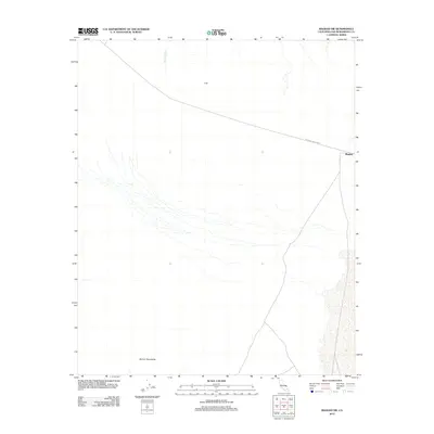
2012 Map of Bagdad SW
USGS Topo · Published 2012About this map
National Trails Hwy cuts across the northern reaches of this Mojave Desert landscape, tracing a historic transit corridor near the small desert settlements of Bagdad and Trojan. The terrain is defined by the alluvial drainage of Siberia Wash, which flows southward from the highway toward the base of the Bullion Mountains. This 2012 survey illustrates the sparse human footprint in this part of San Bernardino County, where infrastructure is largely confined to the primary road and the remnants of rail-side stops. The map provides a detailed view of the desert floor topography, showing how the seasonal watercourses from the mountains interface with the historic travel routes that once served as vital links across the California interior.
Find a feature on this map
5 named features on this map. Tap any name to fly to it.
Don’t see what you’re looking for? This feature index may not catch every label — zoom into the map to look around manually.
Map Details
Editions of this 2012 Bagdad SW Map
This is the sole edition of this map. No revisions or reprints were ever made.
Other maps of this area

1942 · Amboy
USGS Topo · 1:250,000

1943 · Amboy
USGS Topo · 1:250,000

1953 · San Bernardino
USGS Topo · 1:250,000

1954 · Needles
USGS Topo · 1:250,000

1954 · Amboy Crater
USGS Topo · 1:24,000

1954 · Bagdad SW
USGS Topo · 1:24,000

1954 · Ludlow SE
USGS Topo · 1:24,000

1955 · Lead Mountain
USGS Topo · 1:24,000

1955 · Lead Mtn. NE
USGS Topo · 1:24,000

1955 · Deadman Lake NE
USGS Topo · 1:24,000