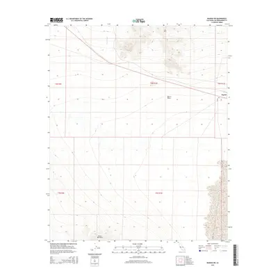
2015 Map of Bagdad SW
USGS Topo · Published 2015About this map
The settlement of Bagdad sits along Bagdad Way in this arid landscape of San Bernardino County. Located within the Mojave Desert, the area is defined by significant topographic shifts between the northern Lava Hills and the southern Bullion Mountains. This survey captures the sparse infrastructure of the region during the mid-2010s, where movement is dictated by the natural drainage patterns of Siberia Wash.
Find a feature on this map
11 named features on this map. Tap any name to fly to it.
Don’t see what you’re looking for? This feature index may not catch every label — zoom into the map to look around manually.
Map Details
Editions of this 2015 Bagdad SW Map
This is the sole edition of this map. No revisions or reprints were ever made.
Other maps of this area

1942 · Amboy
USGS Topo · 1:250,000

1943 · Amboy
USGS Topo · 1:250,000

1953 · San Bernardino
USGS Topo · 1:250,000

1954 · Needles
USGS Topo · 1:250,000

1954 · Amboy Crater
USGS Topo · 1:24,000

1954 · Bagdad SW
USGS Topo · 1:24,000

1954 · Ludlow SE
USGS Topo · 1:24,000

1955 · Lead Mountain
USGS Topo · 1:24,000

1955 · Lead Mtn. NE
USGS Topo · 1:24,000

1955 · Deadman Lake NE
USGS Topo · 1:24,000