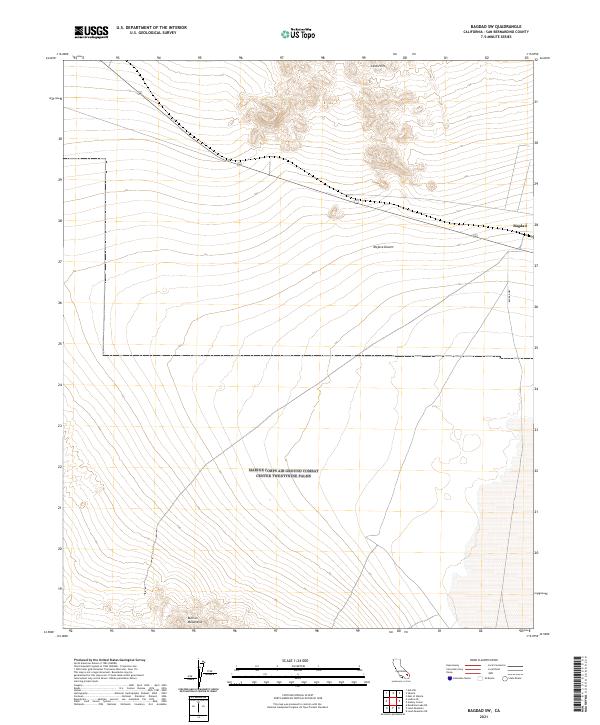
2021 Map of Bagdad SW
USGS Topo · Published 2021About this map
Mojave Desert terrain dominates this quadrangle, where the historic corridor of Route 66 cuts across the arid landscape. The settlement of Bagdad sits along the northern edge of the sheet, serving as a primary point of reference in an area defined by stark volcanic and mountain features. To the north, the Lava Hills provide a jagged topographic contrast to the surrounding desert flats, while the southern portion of the map is anchored by the rising slopes of the Bullion Mountains. Local transit is marked by the presence of Bagdad Way, which provides access through the expansive open reaches of San Bernardino County. This survey highlights the spatial relationship between the early transportation infrastructure and the natural barriers of the California desert.
Find a feature on this map
12 named features on this map. Tap any name to fly to it.
Don’t see what you’re looking for? This feature index may not catch every label — zoom into the map to look around manually.
Map Details
Editions of this 2021 Bagdad SW Map
This is the sole edition of this map. No revisions or reprints were ever made.
Other maps of this area

1942 · Amboy
USGS Topo · 1:250,000

1943 · Amboy
USGS Topo · 1:250,000

1953 · San Bernardino
USGS Topo · 1:250,000

1954 · Needles
USGS Topo · 1:250,000

1954 · Amboy Crater
USGS Topo · 1:24,000

1954 · Bagdad SW
USGS Topo · 1:24,000

1954 · Ludlow SE
USGS Topo · 1:24,000

1955 · Lead Mountain
USGS Topo · 1:24,000

1955 · Lead Mtn. NE
USGS Topo · 1:24,000

1955 · Deadman Lake NE
USGS Topo · 1:24,000