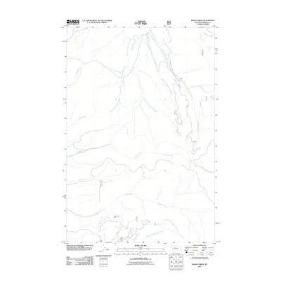
2011 Map of Baggs Creek
USGS Topo · Published 2011About this map
Hidden Hand Mine and the Emery Mine occupy the southern reaches of this landscape, marking a legacy of mineral extraction in the high country of Powell County. The drainage network is dominated by the intricate branches of Spotted Dog Creek, including its North Fork, Middle Fork, and South Fork tributaries. These waterways, along with others like Baggs Creek and Fred Burr Creek, illustrate a complex watershed typical of the Montana Rockies. A system of forest roads, including Usfs 314 and FR 705, provides the primary access through the rugged terrain, following the natural contours of the ridges and valleys between Jake Creek and Freezeout Creek. The map documents a landscape defined by its resources and the infrastructure required to reach them, from remote mine sites to the seasonal streams of the North Fork Cottonwood Creek.
Find a feature on this map
23 named features on this map. Tap any name to fly to it.
Don’t see what you’re looking for? This feature index may not catch every label — zoom into the map to look around manually.
Map Details
Editions of this 2011 Baggs Creek Map
This is the sole edition of this map. No revisions or reprints were ever made.
Other maps of this area

1889 · Helena
USGS Topo · 1:250,000

1893 · Helena
USGS Topo · 1:250,000

1899 · Boulder
USGS Topo · 1:125,000

1899 · Helena
USGS Topo · 1:250,000

1903 · Helena
USGS Topo · 1:250,000

1947 · Butte
USGS Topo · 1:250,000

1954 · Basin
USGS Topo · 1:62,500

1958 · Butte
USGS Topo · 1:250,000

1958 · Avon
USGS Topo · 1:62,500

1959 · Deer Lodge
USGS Topo · 1:62,500