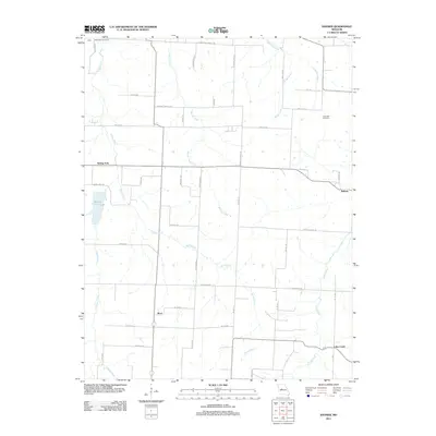
2011 Map of Bahner
USGS Topo · Published 2011About this map
Mora and Bahner anchor this rural landscape in Pettis County, where a network of section-line roads and family-named routes defines the local geography. The area is characterized by several drainage systems, most notably Spring Fork, which feeds into Spring Fork Lake in the western portion of the quadrangle. Other water bodies like Walnut Creek, Cheese Creek, and Lake Creek create a rolling hydrological pattern across the agricultural terrain.
Find a feature on this map
48 named features on this map. Tap any name to fly to it.
Don’t see what you’re looking for? This feature index may not catch every label — zoom into the map to look around manually.
Map Details
Editions of this 2011 Bahner Map
This is the sole edition of this map. No revisions or reprints were ever made.
Other maps of this area

1887 · Sedalia
USGS Topo · 1:125,000

1887 · Warsaw
USGS Topo · 1:125,000

1894 · Warsaw
USGS Topo · 1:125,000

1894 · Sedalia
USGS Topo · 1:125,000

1944 · Sedalia West
USGS Topo · 1:24,000

1944 · Sedalia East
USGS Topo · 1:24,000

1946 · Sedalia West
USGS Topo · 1:24,000

1946 · Sedalia East
USGS Topo · 1:24,000

1947 · Jefferson City
USGS Topo · 1:250,000
1948 · Green Ridge
USGS Topo · 1:62,500