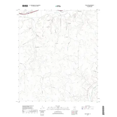
2019 Map of Bailey Creek
USGS Topo · Published 2019About this map
South Llano River carves through the southeastern corner of this Kimble County landscape, a vital water source in an area defined by complex drainage networks. Significant groundwater sites like Coleman Springs and Rock Springs are tucked into the drainages of the Edwards Plateau, feeding a system of creeks and draws. The terrain is marked by prominent elevations such as Allison Mtn, Black Mtn, and Sanders Bluff, which rise above a series of named hollows including Bear Hollow and Indian Hollow.
Find a feature on this map
48 named features on this map. Tap any name to fly to it.
Don’t see what you’re looking for? This feature index may not catch every label — zoom into the map to look around manually.
Map Details
Editions of this 2019 Bailey Creek Map
This is the sole edition of this map. No revisions or reprints were ever made.
Other maps of this area

1893 · Rock Springs
USGS Topo · 1:125,000

1893 · Fort McKavett
USGS Topo · 1:125,000

1926 · Segovia 2-c
USGS Topo · 1:48,000

1932 · Junction
USGS Topo · 1:62,500

1954 · Llano
USGS Topo · 1:250,000

1954 · Sonora
USGS Topo · 1:250,000

1955 · Llano
USGS Topo · 1:250,000

1956 · Llano
USGS Topo · 1:250,000

1958 · Sonora
USGS Topo · 1:250,000

1962 · Hill Ranch
USGS Topo · 1:24,000