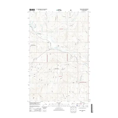
2014 Map of Bailey Creek
USGS Topo · Published 2014About this map
Aeneas Valley serves as the central hub of this northern Washington landscape, situated within the extensive reaches of the Okanogan National Forest. The geography is defined by a dense network of water features and high-altitude terrain, including the steep walls of Devils Canyon and the prominent peak of Bailey Mtn. The hydrology of the region is particularly complex, with the W Fork Sanpoil River carving through the center while various smaller drainages like Cape Labelle Cr and Sourdough Cr feed into alpine lakes such as Ell Lake and Lyman Lake. Small-scale aviation points like Hart Ranch Airport and Sourdough Airport indicate the specialized transport needs of this isolated forest terrain. Rural life is traced through a web of forest service roads and local lanes like Stonehaven Rd and Blue Meadow Rd, which connect remote springs and family-named landmarks across the townships.
Find a feature on this map
47 named features on this map. Tap any name to fly to it.
Don’t see what you’re looking for? This feature index may not catch every label — zoom into the map to look around manually.
Map Details
Editions of this 2014 Bailey Creek Map
This is the sole edition of this map. No revisions or reprints were ever made.
Other maps of this area

1902 · Osoyoos
USGS Topo · 1:125,000

1904 · Osoyoos
USGS Topo · 1:125,000

1904 · Republic
USGS Topo · 1:125,000

1951 · Wauconda
USGS Topo · 1:62,500

1952 · Disautel
USGS Topo · 1:62,500

1953 · Bald Knob
USGS Topo · 1:62,500

1954 · Okanogan
USGS Topo · 1:250,000

1957 · Aeneas Valley
USGS Topo · 1:62,500

1958 · Okanogan
USGS Topo · 1:250,000

1958 · Aeneas
USGS Topo · 1:62,500