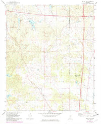
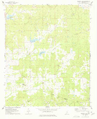
1975 Map of Bailey Lake
USGS Topo · Published 1982About this map
Stretching across the border of Carroll and Montgomery counties, this mid-1970s survey reveals a landscape defined by small rural congregations and family burial grounds nestled among the tributaries of the Yazoo River basin. The western edge of Winona appears near the intersection of major transit corridors, while the surrounding countryside is dotted with community landmarks like St Johns Chapel and Summerfield Ch.
Find a feature on this map
32 named features on this map. Tap any name to fly to it.
Don’t see what you’re looking for? This feature index may not catch every label — zoom into the map to look around manually.
Map Details
Editions of this 1975 Bailey Lake Map
2 editions found
Other maps of this area

1953 · West Point
USGS Topo · 1:250,000

1954 · Duck Hill
USGS Topo · 1:62,500

1954 · McCarley
USGS Topo · 1:62,500

1958 · West Point
USGS Topo · 1:250,000

1963 · West Point
USGS Topo · 1:250,000

1966 · Winona
USGS Topo · 1:24,000
1966 · Vaiden
USGS Topo · 1:24,000

1968 · Winona
USGS Topo · 1:62,500
1975 · Peachahala Creek
USGS Topo · 1:24,000
1975 · Murdock Lake
USGS Topo · 1:24,000