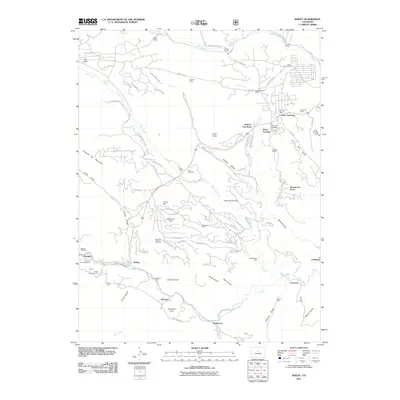
2011 Map of Bailey
USGS Topo · Published 2011About this map
The North Fork South Platte River winds through this mountainous terrain, anchoring several historic settlements including Bailey, Insmont, and Estabrook. This landscape is defined by its deep canyons and gulches, such as Arbuckle Gulch and Roland Gulch, which shaped the early development of the region. The map reveals a high density of established ranches, including the Fitzsimmons Ranch and Potter Ranch, indicating a legacy of high-country agriculture and land ownership.
Find a feature on this map
95 named features on this map. Tap any name to fly to it.
Don’t see what you’re looking for? This feature index may not catch every label — zoom into the map to look around manually.
Map Details
Editions of this 2011 Bailey Map
This is the sole edition of this map. No revisions or reprints were ever made.
Other maps of this area

1893 · Platte Canyon
USGS Topo · 1:125,000

1899 · West Denver
USGS Topo · 1:125,000

1903 · Georgetown
USGS Topo · 1:62,500

1905 · Georgetown
USGS Topo · 1:62,500

1945 · Pine
USGS Topo · 1:24,000

1945 · Bailey
USGS Topo · 1:24,000

1945 · Shawnee
USGS Topo · 1:24,000

1948 · Pine
USGS Topo · 1:24,000

1948 · Shawnee
USGS Topo · 1:24,000

1949 · Bailey
USGS Topo · 1:24,000