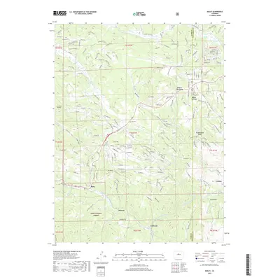
2019 Map of Bailey
USGS Topo · Published 2019About this map
The North Fork South Platte River carves a central path through this section of the Pike National Forest, where high-elevation settlements like Bailey and Insmont trace the canyon floor. The landscape is defined by its dramatic relief, with peaks such as Crooked Top Mtn, Grouse Mtn, and Mt Bailey rising above a network of deep drainages including Quiner Gulch, Roland Gulch, and Corbin Gulch. This 2019 survey documents the modern footprint of communities like Will-O-The-Wisp and Wandrest Park against the backdrop of the Colorado Front Range. For local historians, the map preserves the locations of several burial sites, including Horn Cem, Pine Gulch Cem, and Glen Isle Point Cem. The presence of Estabrook, Cliffdale, and Crossons further east highlights the corridor's long-standing role as a series of mountain outposts along the river and the Co Rd 43 transport route.
Find a feature on this map
174 named features on this map. Tap any name to fly to it.
Don’t see what you’re looking for? This feature index may not catch every label — zoom into the map to look around manually.
Map Details
Editions of this 2019 Bailey Map
This is the sole edition of this map. No revisions or reprints were ever made.
Other maps of this area

1893 · Platte Canyon
USGS Topo · 1:125,000

1899 · West Denver
USGS Topo · 1:125,000

1903 · Georgetown
USGS Topo · 1:62,500

1905 · Georgetown
USGS Topo · 1:62,500

1945 · Pine
USGS Topo · 1:24,000

1945 · Bailey
USGS Topo · 1:24,000

1945 · Shawnee
USGS Topo · 1:24,000

1948 · Pine
USGS Topo · 1:24,000

1948 · Shawnee
USGS Topo · 1:24,000

1949 · Bailey
USGS Topo · 1:24,000