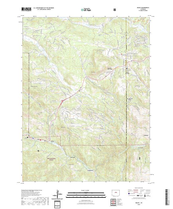
2022 Map of Bailey
USGS Topo · Published 2022About this map
The North Fork South Platte River winds through a high-altitude landscape where mountain communities and isolated settlements follow the water's course. Early 21st-century development in the Park County and Jefferson County borderlands is visible in the clustered residential roads of Silver Springs and Will-O-The-Wisp, contrasting with the more established center of Bailey. The geography is defined by narrow corridors like Roland Gulch and Quiner Gulch that funnel travel toward the river valley.
Find a feature on this map
173 named features on this map. Tap any name to fly to it.
Don’t see what you’re looking for? This feature index may not catch every label — zoom into the map to look around manually.
Map Details
Editions of this 2022 Bailey Map
This is the sole edition of this map. No revisions or reprints were ever made.
Other maps of this area

1893 · Platte Canyon
USGS Topo · 1:125,000

1899 · West Denver
USGS Topo · 1:125,000

1903 · Georgetown
USGS Topo · 1:62,500

1905 · Georgetown
USGS Topo · 1:62,500

1945 · Pine
USGS Topo · 1:24,000

1945 · Bailey
USGS Topo · 1:24,000

1945 · Shawnee
USGS Topo · 1:24,000

1948 · Pine
USGS Topo · 1:24,000

1948 · Shawnee
USGS Topo · 1:24,000

1949 · Bailey
USGS Topo · 1:24,000