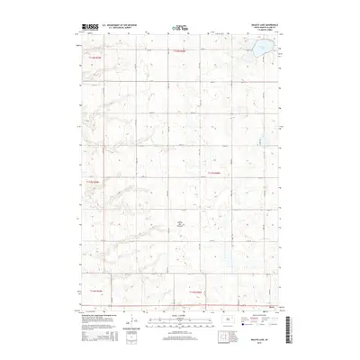
2015 Map of Baileys Lake
USGS Topo · Published 2015About this map
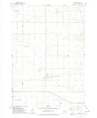
Coteau des Prairies, a vast highland plateau, defines the topography of this northeastern South Dakota landscape. The map focuses on a section of the rural interior where a strictly defined grid of section-line roads, such as 165th St and 423rd Ave, segments the undulating glacial terrain. Baileys Lake sits in the northeast corner, serving as a primary hydrological feature in an area otherwise dotted with small, seasonal wetlands and depressions characteristic of this geologic region. To the southeast, the town of Clark appears, marking the transition from open agricultural land to a more concentrated municipal layout. The map reflects a modern rural economy established upon decades of systematic land division, where the proximity of water and reliable road access remain central to the settlement pattern.
Find a feature on this map
23 named features on this map. Tap any name to fly to it.
Don’t see what you’re looking for? This feature index may not catch every label — zoom into the map to look around manually.
Map Details
Editions of this 2015 Baileys Lake Map
This is the sole edition of this map. No revisions or reprints were ever made.
Other maps of this area

1953 · Milbank
USGS Topo · 1:250,000

1953 · Watertown
USGS Topo · 1:250,000

1958 · Milbank
USGS Topo · 1:250,000

1958 · Watertown
USGS Topo · 1:250,000
1973 · Crocker SW
USGS Topo · 1:24,000

1973 · Bradley
USGS Topo · 1:24,000
1973 · Crocker
USGS Topo · 1:24,000
1973 · Baileys Lake
USGS Topo · 1:24,000
1973 · Raymond
USGS Topo · 1:24,000

1973 · Clark South
USGS Topo · 1:24,000