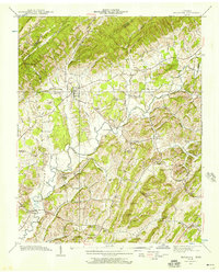
1939 Map of Baileyton
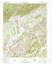
USGS Topo · Published 1957About this map
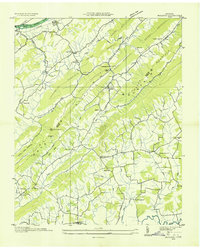
Baileyton serves as the focal point of this rural landscape, situated along the base of Stone Mountain where the geography begins to shift into the valley. The area is defined by a traditional agricultural and water-powered economy, evidenced by several milling operations including Lick Creek Mill and Babbs Mill. The topography is marked by significant gaps and ridges, such as Wattenberger Gap and Babbs Ridge, which dictated the early road networks and settlement patterns near Locust Springs.
Find a feature on this map
87 named features on this map. Tap any name to fly to it.
Don’t see what you’re looking for? This feature index may not catch every label — zoom into the map to look around manually.
Map Details
Editions of this 1939 Baileyton Map
2 editions found
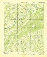
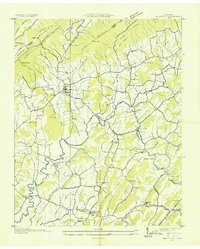
Other maps of this area

1892 · Greeneville
USGS Topo · 1:125,000

1896 · Greeneville
USGS Topo · 1:125,000

1904 · Greeneville
USGS Topo · 1:125,000
1935 · Surgoinsville
USGS Topo · 1:48,000
1935 · Baileyton
USGS Topo · 1:24,000

1935 · Lovelace
USGS Topo · 1:24,000
1935 · McCloud
USGS Topo · 1:24,000
1935 · Mosheim
USGS Topo · 1:24,000
1935 · Burem
USGS Topo · 1:24,000
1935 · Stonypoint
USGS Topo · 1:24,000