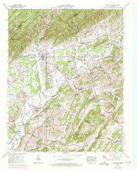
1939 Map of Baileyton
USGS Topo · Published 1972About this map
The agrarian valley floor around Baileyton is defined by a dense network of country schools and mills, reflecting the self-sufficient community structure of Greene and Hawkins Counties. The Tennessee Valley Authority's 1939 field checks reveal a landscape tied to its watercourses, with Lick Creek Mill and Holland Mill situated near the winding Lick Creek. These small-scale milling operations, along with Babbs Mill to the south, were central to the local economy before the large-scale industrial shifts of the mid-20th century.
Find a feature on this map
75 named features on this map. Tap any name to fly to it.
Don’t see what you’re looking for? This feature index may not catch every label — zoom into the map to look around manually.
Map Details
Editions of this 1939 Baileyton Map
2 editions found
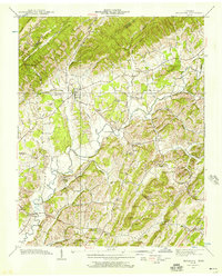
Other maps of this area

1892 · Greeneville
USGS Topo · 1:125,000

1896 · Greeneville
USGS Topo · 1:125,000

1904 · Greeneville
USGS Topo · 1:125,000

1935 · Surgoinsville
USGS Topo · 1:48,000

1935 · Baileyton
USGS Topo · 1:24,000

1935 · Lovelace
USGS Topo · 1:24,000

1935 · McCloud
USGS Topo · 1:24,000

1935 · Mosheim
USGS Topo · 1:24,000
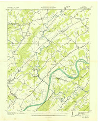
1935 · Burem
USGS Topo · 1:24,000
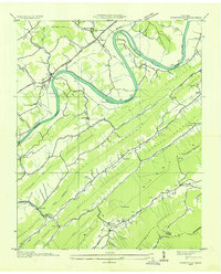
1935 · Stonypoint
USGS Topo · 1:24,000