Loading...
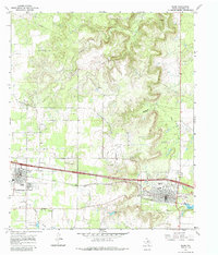
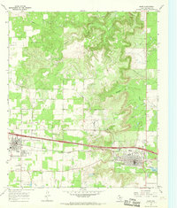
Loading map...1966 Map of Baird
USGS Topo · Published 1985About this map
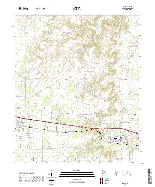
Baird and Clyde stand as the primary hubs of this mid-century West Texas landscape, connected by the vital artery of the Texas And Pacific railroad. The territory is characterized by an extensive network of Oil Wells, particularly concentrated north of the railroad tracks and among the winding drainages of Hubbard Creek and Jenkins Creek. This industrial footprint is punctuated by local landmarks like the Rodeo Ground on the eastern edge of Baird, reflecting the region's enduring ranching traditions.
Find a feature on this map
18 named features on this map. Tap any name to fly to it.
Don’t see what you’re looking for? This feature index may not catch every label — zoom into the map to look around manually.
Map Details
Date Portrayed1966
Date Published1985
PublisherU.S. Geological Survey
Map TypeTopographic
Scale1:24,000
Physical Dimensions23 x 26.9 inches
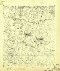
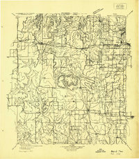
Editions of this 1966 Baird Map
2 editions found
Historical Maps of Clyde Through Time
8 maps found

Featured Locations
Source Details
SourceU.S. Geological Survey
CopyrightPublic Domain