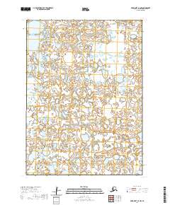
2020 Map of Baird Inlet A-3 NW
USGS Topo · Published 2020About this map
Tundra wetlands and a complex network of small lakes and ponds dominate this landscape in the Bethel Census Area. The region is defined strictly by the Public Land Survey System, with boundaries such as T2n R80w, T2n R79w, and T1n R80w marking the vast, undeveloped terrain. This 2020 map reflects a modern remote sensing effort using SPOT imagery from 2010 to capture the intricate hydrography typical of the Yukon-Kuskokwim Delta region. The lack of named roads, settlements, or infrastructure emphasizes the undisturbed character of these interior lowlands, where seasonal changes in water levels frequently reshape the topography. Researchers and surveyors can study the precise PLSS grid intersections, including T1n R79w and T1s R81w, which remain the primary method for geolocating features in this expansive Alaskan wilderness.
Find a feature on this map
6 named features on this map. Tap any name to fly to it.
Don’t see what you’re looking for? This feature index may not catch every label — zoom into the map to look around manually.
Map Details
Editions of this 2020 Baird Inlet A-3 NW Map
This is the sole edition of this map. No revisions or reprints were ever made.
Other maps of this area

1951 · Baird Inlet
USGS Topo · 1:250,000

1954 · Baird Inlet A-3
USGS Topo · 1:63,360

1954 · Baird Inlet
USGS Topo · 1:250,000

1954 · Baird Inlet B-3
USGS Topo · 1:63,360
1954 · Baird Inlet B-4
USGS Topo · 1:63,360
1954 · Baird Inlet A-4
USGS Topo · 1:63,360
2017 · Baird Inlet A-3 NE
USGS Topo · 1:25,000
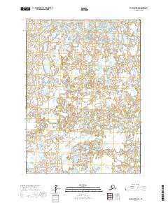
2017 · Baird Inlet B-3 SE
USGS Topo · 1:25,000
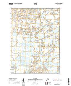
2017 · Baird Inlet A-3 SE
USGS Topo · 1:25,000
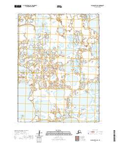
2020 · Baird Inlet A-4 SE
USGS Topo · 1:25,000