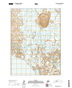
2020 Map of Baird Inlet A-6 SW
USGS Topo · Published 2020About this map
Cheeching Mtn rises as a prominent landmark above the extensive wetlands of the Kinak River delta in this corner of the Bethel Census Area. The terrain is defined by an intricate network of countless small lakes and ponds, characteristic of the Yukon-Kuskokwim Delta's low-lying coastal plain. The Kinak Bay inlet marks the southwestern edge of the sheet, where freshwater outflows meet the tidal influences of the Bering Sea coast. This 2020 survey provides a high-resolution view of the hydrography across the township boundaries of t1s r87w, t1s r86w, t2s r87w, and t2s r86w, showing the seasonal shifting of water bodies in a landscape that transitions from the upland heights of Cheeching Mtn to the brackish reaches of the bay.
Find a feature on this map
7 named features on this map. Tap any name to fly to it.
Don’t see what you’re looking for? This feature index may not catch every label — zoom into the map to look around manually.
Map Details
Editions of this 2020 Baird Inlet A-6 SW Map
This is the sole edition of this map. No revisions or reprints were ever made.
Other maps of this area

1951 · Kuskokwim Bay
USGS Topo · 1:250,000

1951 · Baird Inlet
USGS Topo · 1:250,000

1954 · Baird Inlet
USGS Topo · 1:250,000

1954 · Kuskokwim Bay
USGS Topo · 1:250,000
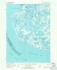
1954 · Kuskokwim Bay D-6
USGS Topo · 1:63,360
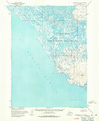
1954 · Baird Inlet A-7
USGS Topo · 1:63,360
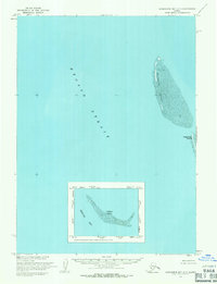
1954 · Kuskokwim Bay D-7
USGS Topo · 1:63,360
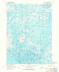
1954 · Baird Inlet A-6
USGS Topo · 1:63,360
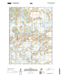
2020 · Kuskokwim Bay D-6 NE
USGS Topo · 1:25,000
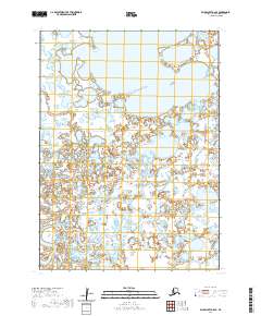
2020 · Baird Inlet A-6 SE
USGS Topo · 1:25,000