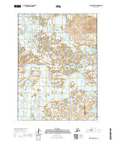
2020 Map of Baird Inlet A-7 NE
USGS Topo · Published 2020About this map
The meandering Kinia River dominates this portion of the Yukon-Kuskokwim Delta, weaving through a landscape of wetlands and tundra in the Bethel Census Area. This 2020 survey records the essential transportation infrastructure supporting the region, centered on the Chefornak Airport. The layout of the small airfield and its connections, including the Airport Access Road and the short Dump Road, reflects the critical role of aviation in maintaining connectivity across this water-rich environment. The river itself exhibits a complex pattern of oxbows and channels, defining the natural boundaries for several townships, including t1n r87w and t1n r86w.
Find a feature on this map
10 named features on this map. Tap any name to fly to it.
Don’t see what you’re looking for? This feature index may not catch every label — zoom into the map to look around manually.
Map Details
Editions of this 2020 Baird Inlet A-7 NE Map
This is the sole edition of this map. No revisions or reprints were ever made.
Other maps of this area

1951 · Baird Inlet
USGS Topo · 1:250,000

1954 · Baird Inlet
USGS Topo · 1:250,000

1954 · Baird Inlet B-6
USGS Topo · 1:63,360

1954 · Baird Inlet B-7
USGS Topo · 1:63,360
1954 · Baird Inlet A-7
USGS Topo · 1:63,360
1954 · Baird Inlet A-6
USGS Topo · 1:63,360
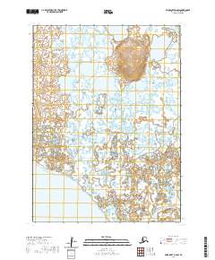
2020 · Baird Inlet A-7 NW
USGS Topo · 1:25,000
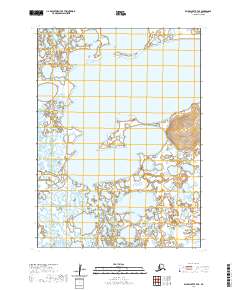
2020 · Baird Inlet A-6 SW
USGS Topo · 1:25,000
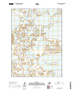
2020 · Baird Inlet B-7 SE
USGS Topo · 1:25,000
2020 · Baird Inlet B-6 SW
USGS Topo · 1:25,000