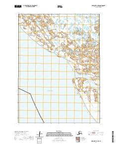
2020 Map of Baird Inlet A-7 NW
USGS Topo · Published 2020About this map
The Bering Sea dominates the southwestern portion of this Alaskan coastal quadrangle, where the maritime environment meets an intricate network of wetlands and tidal influence. The Kinia River winds through the eastern terrain, serving as a primary hydrologic feature in a landscape defined by water and low-lying topography. Mapping provided by the National Hydrography Dataset and the FWS National Wetlands Inventory reveals the complex saturated character of the region within the Bethel Census Area. The lack of modern road infrastructure and established settlements emphasizes the remote, water-dependent nature of this coastal zone, which remains largely shaped by natural processes and historical public land surveys including portions of t2n r88w and t1n r87w.
Find a feature on this map
7 named features on this map. Tap any name to fly to it.
Don’t see what you’re looking for? This feature index may not catch every label — zoom into the map to look around manually.
Map Details
Editions of this 2020 Baird Inlet A-7 NW Map
This is the sole edition of this map. No revisions or reprints were ever made.
Other maps of this area

1951 · Baird Inlet
USGS Topo · 1:250,000

1954 · Baird Inlet
USGS Topo · 1:250,000

1954 · Baird Inlet B-7
USGS Topo · 1:63,360
1954 · Baird Inlet A-7
USGS Topo · 1:63,360

1954 · Baird Inlet B-8
USGS Topo · 1:63,360
2020 · Baird Inlet A-7 OE W NE
USGS Topo · 1:25,000
2020 · Baird Inlet B-7 SE
USGS Topo · 1:25,000
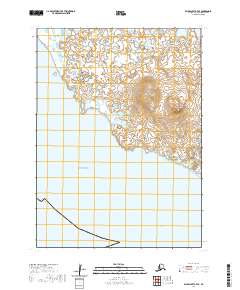
2020 · Baird Inlet A-7 SE
USGS Topo · 1:25,000
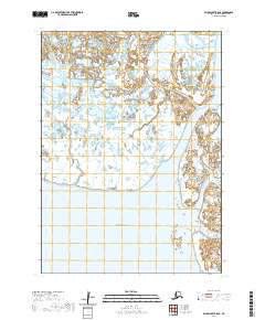
2020 · Baird Inlet B-8 SE
USGS Topo · 1:25,000
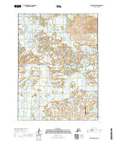
2020 · Baird Inlet A-7 NE
USGS Topo · 1:25,000