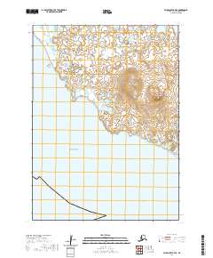
2020 Map of Baird Inlet A-7 SE
USGS Topo · Published 2020About this map
Kinak Bay and the coastal waters of the Bering Sea define this section of the Yukon-Kuskokwim Delta. The landscape is dominated by a complex network of wetlands and tidal flats typical of the Bethel Census Area's southwestern reaches. Rising above the low-lying terrain is Tern Mtn, a prominent landmark that breaks the horizontal profile of the surrounding marshes. The map provides a detailed view of the coastal geography in the t2s r87w and t2s r88w townships, showing the intricate boundary where the tundra meet the sea. This 2020 survey reflects the modern hydrography of the region, emphasizing the volatile nature of the Alaskan shoreline.
Find a feature on this map
7 named features on this map. Tap any name to fly to it.
Don’t see what you’re looking for? This feature index may not catch every label — zoom into the map to look around manually.
Map Details
Editions of this 2020 Baird Inlet A-7 SE Map
This is the sole edition of this map. No revisions or reprints were ever made.
Other maps of this area

1951 · Kuskokwim Bay
USGS Topo · 1:250,000

1951 · Baird Inlet
USGS Topo · 1:250,000

1954 · Baird Inlet
USGS Topo · 1:250,000

1954 · Kuskokwim Bay
USGS Topo · 1:250,000
1954 · Kuskokwim Bay D-6
USGS Topo · 1:63,360
1954 · Baird Inlet A-7
USGS Topo · 1:63,360
1954 · Kuskokwim Bay D-7
USGS Topo · 1:63,360
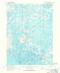
1954 · Baird Inlet A-6
USGS Topo · 1:63,360
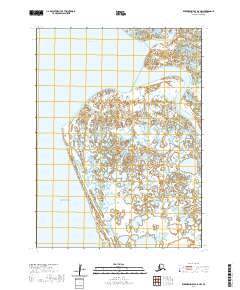
2020 · Kuskokwim Bay D-6 NW
USGS Topo · 1:25,000
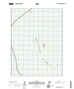
2020 · Kuskokwim Bay D-7 NE
USGS Topo · 1:25,000