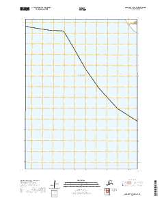
2020 Map of Baird Inlet A-7 OE W NE
USGS Topo · Published 2020About this map
Bering Sea waters dominate this coastal survey of the Yukon-Kuskokwim Delta region, showing the maritime environment as it was recorded in 2020. The map focuses on the open expanse of the sea and the Etolin Strait, a critical waterway separating Nunivak Island from the mainland. The cartography is primarily defined by maritime boundaries and the Public Land Survey System, including t2n r89w and t2n r88w, rather than terrestrial landmarks. Produced by the U.S. Geological Survey, this sheet serves as a contemporary record of the hydrography and shoreline transitions in the Bethel Census Area, where the land meets the cold waters of the north.
Find a feature on this map
5 named features on this map. Tap any name to fly to it.
Don’t see what you’re looking for? This feature index may not catch every label — zoom into the map to look around manually.
Map Details
Editions of this 2020 Baird Inlet A-7 OE W NE Map
This is the sole edition of this map. No revisions or reprints were ever made.
Other maps of this area

1951 · Baird Inlet
USGS Topo · 1:250,000

1954 · Baird Inlet
USGS Topo · 1:250,000

1954 · Baird Inlet B-7
USGS Topo · 1:63,360
1954 · Baird Inlet A-7
USGS Topo · 1:63,360

1954 · Baird Inlet B-8
USGS Topo · 1:63,360
2020 · Baird Inlet B-8 SW
USGS Topo · 1:25,000
2020 · Baird Inlet A-7 NW
USGS Topo · 1:25,000
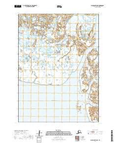
2020 · Baird Inlet B-8 SE
USGS Topo · 1:25,000
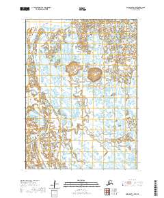
2020 · Baird Inlet B-7 SW
USGS Topo · 1:25,000