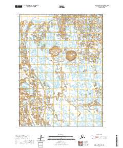
2020 Map of Baird Inlet B-7 SW
USGS Topo · Published 2020About this map
Ingariak Hills provides the primary topographic relief in an otherwise low-lying expanse of the Yukon-Kuskokwim Delta. This 2020 survey of the Bethel Census Area reveals a landscape dominated by complex hydrography, where countless small lakes and interconnected wetlands suggest the dynamic nature of this subarctic environment. The lack of infrastructure or permanent settlements reflects the preservation of traditional land use patterns, as the territory remains largely defined by its natural drainage systems. Surveyed sections like t3n r88w and t2n r88w show a high density of water bodies, highlighting the intricate mosaic of the Alaskan tundra.
Find a feature on this map
5 named features on this map. Tap any name to fly to it.
Don’t see what you’re looking for? This feature index may not catch every label — zoom into the map to look around manually.
Map Details
Editions of this 2020 Baird Inlet B-7 SW Map
This is the sole edition of this map. No revisions or reprints were ever made.
Other maps of this area

1951 · Baird Inlet
USGS Topo · 1:250,000

1954 · Baird Inlet
USGS Topo · 1:250,000

1954 · Baird Inlet B-7
USGS Topo · 1:63,360
1954 · Baird Inlet A-7
USGS Topo · 1:63,360

1954 · Baird Inlet B-8
USGS Topo · 1:63,360
2020 · Baird Inlet B-7 NE
USGS Topo · 1:25,000
2020 · Baird Inlet A-7 NW
USGS Topo · 1:25,000
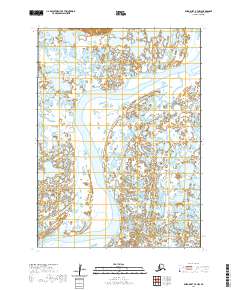
2020 · Baird Inlet B-7 NW
USGS Topo · 1:25,000
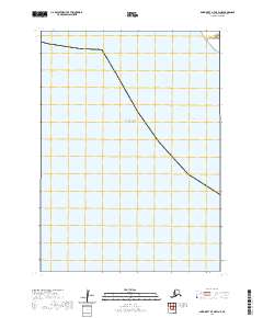
2020 · Baird Inlet A-7 OE W NE
USGS Topo · 1:25,000
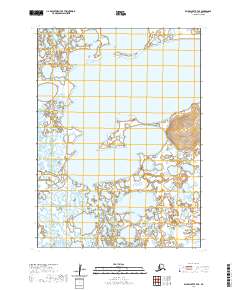
2020 · Baird Inlet B-7 SE
USGS Topo · 1:25,000